
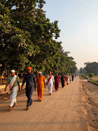
Sacred Routes Mapped, Cleared, and Maintained
Vrindavan, Govardhan, and Narmada parikramas face distinct ecological pressures. Each corridor has its own restoration logic, its own field teams, and its own measurable progress.
Three Routes, Three Restoration Realities
Vrindavan Parikrama
Govardhan Parikrama
Narmada Parikrama
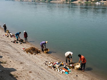
An 11-km route through Braj's most contested urban fringe. Encroachment, waste accumulation, and broken pathways are mapped zone by zone and addressed sequentially.
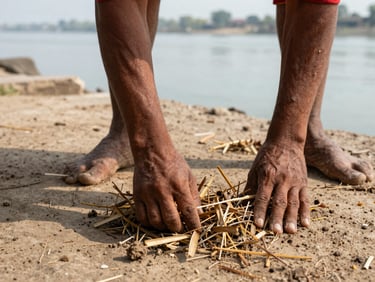
A 21-km circuit around the sacred hill facing agricultural runoff and plastic infiltration. Goshala operations along the corridor anchor both ecological and livelihood restoration.
A cross-state river corridor of over 2,600 km requiring coordinated cleaning missions, carbon-mitigation protocols, and multi-district community stewardship teams.

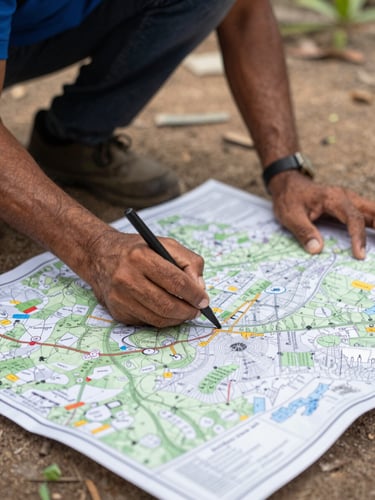
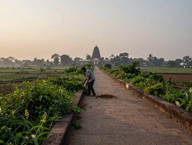
Each Route Earns Its Own Restoration Plan
Vrindavan's urban-fringe encroachments demand different field interventions than Govardhan's agricultural corridor or Narmada's cross-state river system. A single template applied across all three would fail each one.
Goshala operations, local employment, and waste-to-compost cycles are integrated into each programme's fabric—not added as parallel initiatives. The work on one route reinforces the operational model for the next.