
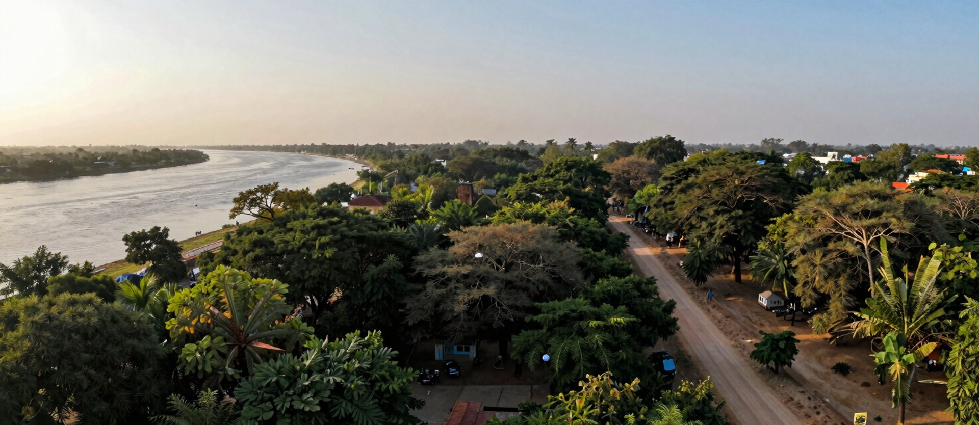
Vrindavan's parikrama: mapped, cleared, and maintained
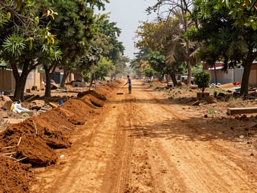
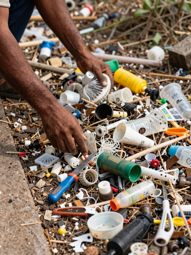
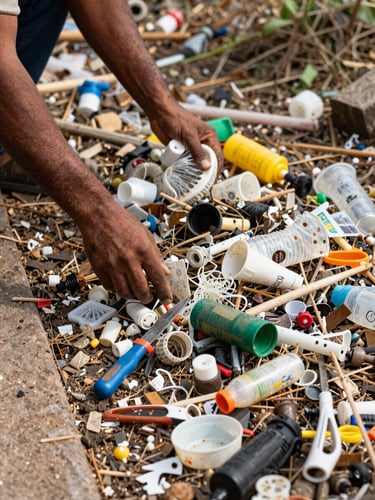
The route was documented zone by zone. Encroachments were cleared. Local households were employed to keep it open. The work is ongoing because the route demands it.

Every zone mapped, every kilometre documented
The 11-kilometre circuit was divided into restoration zones based on ecological pressure, encroachment density, and pilgrim footfall. Each zone has a named coordinator and a recorded baseline.
Progress is measured in kilometres cleared and households in active maintenance contracts—not in aspirational targets. Zone maps are updated quarterly.
Before and after—in kilometres, not promises
Debris-choked sections photographed, geo-tagged, and cleared. Before-and-after documentation is filed per zone, available to institutional partners on request.
Stewardship contributions fund pilgrim sanitation infrastructure and goshala compost supply along the cleared route—every input traceable to a specific zone.
The route stays open because local households maintain it
Parikrama Circuit
Households Employed
Circular Economy Link
Local families contracted for ongoing maintenance—not seasonal labour. Employment is tied to zone performance, measured quarterly against cleared-route targets.
11 kilometres of sacred route documented across six restoration zones, each with a mapped baseline and a local zone coordinator.
Goshala compost supplies organic matter to route-adjacent farms. Pilgrim sanitation infrastructure reduces river contamination in Yamuna-adjacent zones.
Institutional partners receive zone-level documentation. Progress reports are filed each quarter; stewardship is never anonymous.